

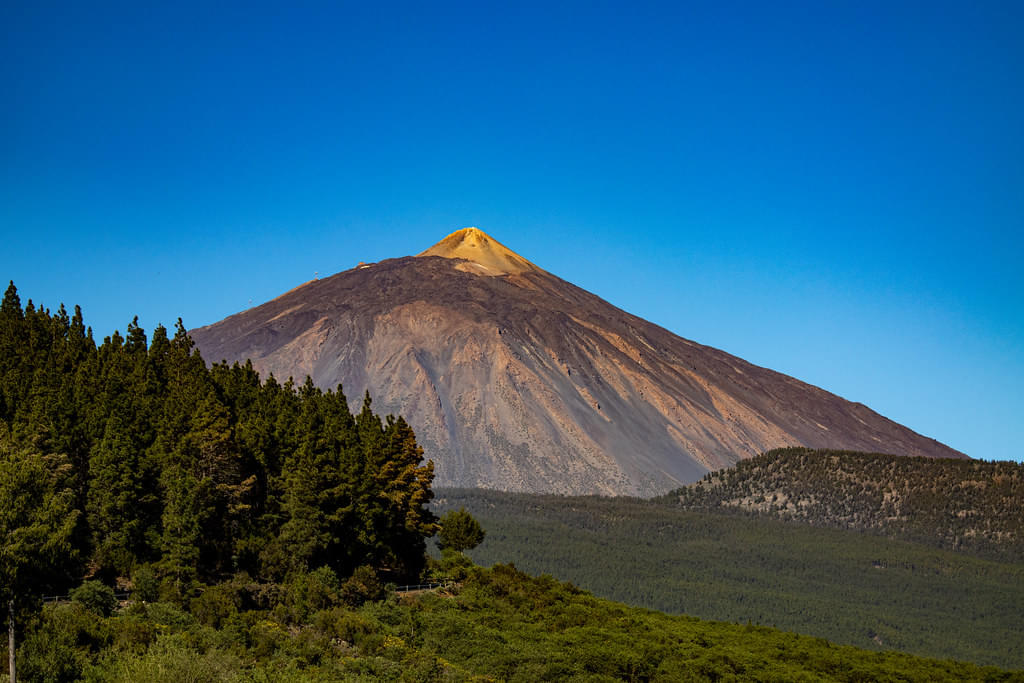
History of Volcano Teide
Historical Eruptions

- Teide last erupted in 1909 from the El Chinyero vent on the Santiago Ridge.
- 1706 Montañas Negras Eruption Destroyed the town and principal port of Garachico and several small villages.
- Volcano Teide History shows that historical activity occurred in 1798 from the Narices del Teide on Pico Viejo's western flank.
- The last explosive eruption from the central volcanic centre was around 2000 years ago from Montaña Blanca.
- The last Mount Teide volcano eruption took place in 1798 from the Narices del Teide on Pico Viejo's western side within the Las Cañadas caldera.
- In 1492, Christopher Columbus reported seeing "a great fire in the Orotava Valley", interpreted as an eruption.
- The last Summit Eruption occurred around 850 AD from Teide, producing the "Lavas Negras" that cover the majority volcano.
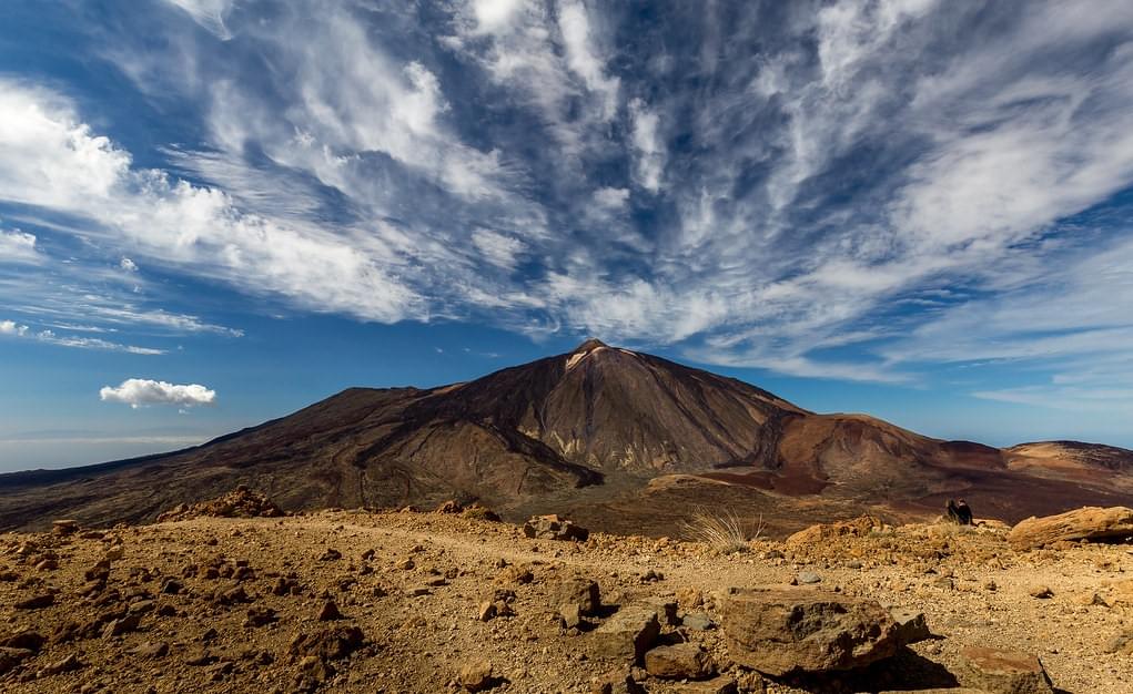
- About 150,000 years ago, a large explosive eruption created the Las Cañadas caldera.
- The summits of Teide and Pico Viejo are situated in the northern half of the caldera and are from eruptions after this prehistoric explosion.
Book Now: Teide Volcano tour
Formation of Volcano Teide

Similar to the other Canary Islands and volcanic ocean islands, Tenerife was formed by the gradual accumulation of massive shield volcanoes. The three isolated massifs of Anaga (to the northeast), Teno (to the northwest), and Roque del Conde (to the south) include the shield volcanoes. It appears that the island took roughly eight million years to form, while each shield took around three million years, all contributing to the fascinating Volcano Teide history
.jpg?w=340&dpr=2)
After its initial juvenile stage, Mount Teide experienced 2 to 3 million years of inactivity and erosion. It's common for the Canary Islands, as seen with La Gomera. Following this period of inactivity, the Anaga massif and Las Cañadas' core volcano saw a concentration of volcanic activity. The Las Cañadas volcano may have reached 40 kilometres in diameter and 4,500 metres (14,800 ft) in height.

The Las Cañadas caldera was formed between 160 and 220 thousand years ago when the summit of the Las Cañadas I volcano collapsed. Later, a second stratovolcano called Las Cañadas II emerged and fell catastrophically. All volcanoes in the Las Cañadas range reached heights similar to Teide. The 16 km × 9 km Las Cañadas caldera, which is an important part of Volcano Teide history, likely formed from either a vertical volcanic collapse or lateral gravitational collapse.
FAQs
What is the history of Mount Teide?
Volcano Teide’s history begins with its formation about 170,000 years ago. Its major explosive eruption around 150,000 years ago created the Las Cañadas caldera. Its historical eruptions include significant activity in 1706, 1798, and 1909. The last summit eruption was around 850 AD, producing the "Lavas Negras."
When was Mount Teide last erupted?
The last Teide volcano eruption occurred in 1909 from the El Chinyero vent on the Santiago Ridge. This event was part of its historical volcanic activity associated with various vents on the island. This includes the Narices del Teide in 1798 and others in the preceding centuries.
How tall is Mount Teide?
Mount Teide is approximately 3,715 meters (12,188 feet) tall. It is Spain's highest point and the tallest peak in the Atlantic islands when measured above sea level. It ranks as Earth's third-tallest volcanic structure if measured from the ocean floor, standing at 7,500 meters (24,600 feet).
What is the significance of Mount Teide in the Canary Islands?
Mount Teide has great geological and cultural significance in the Canary Islands. As Spain's highest peak, it symbolizes the islands' unique biodiversity. Teide also plays a crucial role in tourism and scientific research.
Where is Teide Peak located?
Teide Peak is situated in the Santa Cruz de Tenerife province of the Canary Islands, Spain. It stands as a prominent volcanic summit on the island of Tenerife, which is the largest and most populous of the Canary Islands. The peak is located within the Teide National Park, a UNESCO World Heritage site, known for its unique landscape and rich geological history.
Can visitors hike to the summit of Mount Teide?
Yes, visitors hike to the summit of Mount Teide through Trail No. 10, Telesforo Bravo. It begins from La Rambleta. However, the trail's entry is closed and visitors need to show a permit to National Park rangers.
Explore Teide Volcano